The Best Fluffy Pancakes recipe you will fall in love with. Full of tips and tricks to help you make the best pancakes.
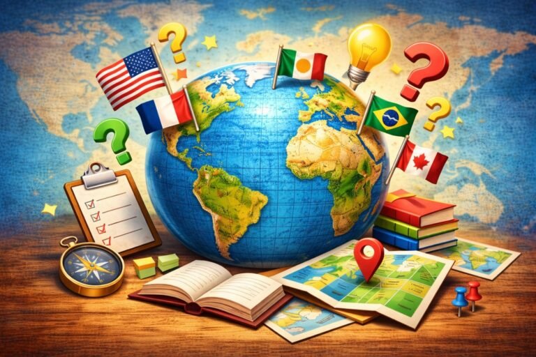
Play South African Geography Quiz Now!
Can you recognize these south africa capitals and rivers?
South African Geography: Quick Facts
- South Africa has three capitals: Pretoria (executive), Cape Town (legislative), Bloemfontein (judicial).
- Cape Agulhas is the true southern tip. The Atlantic and Indian oceans meet here (the currents mingle near Cape Point).
- There are 9 provinces. Gauteng is the smallest by area; the Northern Cape is the largest.
- Two coasts, two moods: Atlantic (west = cold Benguela Current) and Indian (east = warm Agulhas Current).
- The Orange (Gariep) River is the longest; the Vaal is its big tributary.
- Highest ground? Mafadi (≈3,450 m) in the Drakensberg. Tugela Falls drops off this escarpment and is among the tallest in the world.
- The Blyde River Canyon is one of the largest “green” canyons on Earth — lush, not desert.
- Kruger National Park stretches across Limpopo and Mpumalanga and is classic Big Five country.
- The Cape Floristic Region is tiny on the map but mega in plant diversity — think fynbos and the king protea.
- The Garden Route runs about 300 km (Mossel Bay → Storms River) with forests, lakes, and beach towns.
- The Karoo is a vast semi-desert (split into Great and Little Karoo). Big skies, bigger silence.
- The Kalahari nudges into the Northern Cape — red dunes and wide, wild space (hello, Kgalagadi).
- Johannesburg sits on the highveld and is often called the world’s biggest man-made urban forest.
- Durban lives in KwaZulu-Natal — warm water, surf, and subtropical weather.
- Cape Town’s skyline trio: Table Mountain, Lion’s Head, Devil’s Peak.
- Western Cape = wine heartland (Stellenbosch, Franschhoek, Paarl and more).
- Nearly 3,000 km of coastline means penguins, whales, and (yes) famous shark spots like False Bay and Gansbaai.
- Kimberley’s Big Hole is a giant open-pit reminder of the diamond rush days.